

Topographic Surveys and Drone Photogrammetry in Panama
Photogrammetry and Topographic Surveys
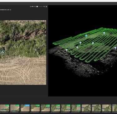
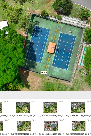
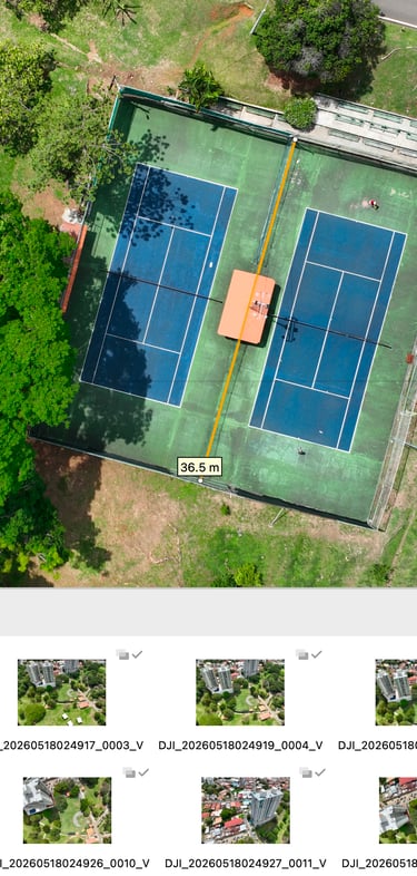
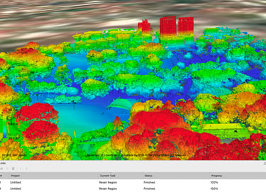
We provide high-precision drone photogrammetry services using RTK technology and our Mavic 3E drone. Our goal is to generate reliable geospatial data for construction, engineering, and land-planning projects.
Our services include:
High-resolution georeferenced orthomosaics
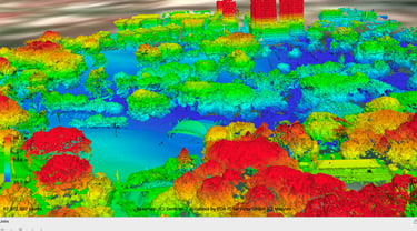
3D point clouds in LAS/LAZ format
Digital elevation and surface models (DEM/DSM)
Contour lines for design and planning
Volume calculations for earthworks and material stockpiles
Deliverables compatible with AutoCAD, Civil 3D, QGIS, and ArcGIS
For material stockpiles, we can survey the area in under 15 minutes and deliver the volume calculation in a PDF report, ready for billing or inventory control, without requiring a surveyor on-site.
Aerial Inspections and Construction Progress Monitoring
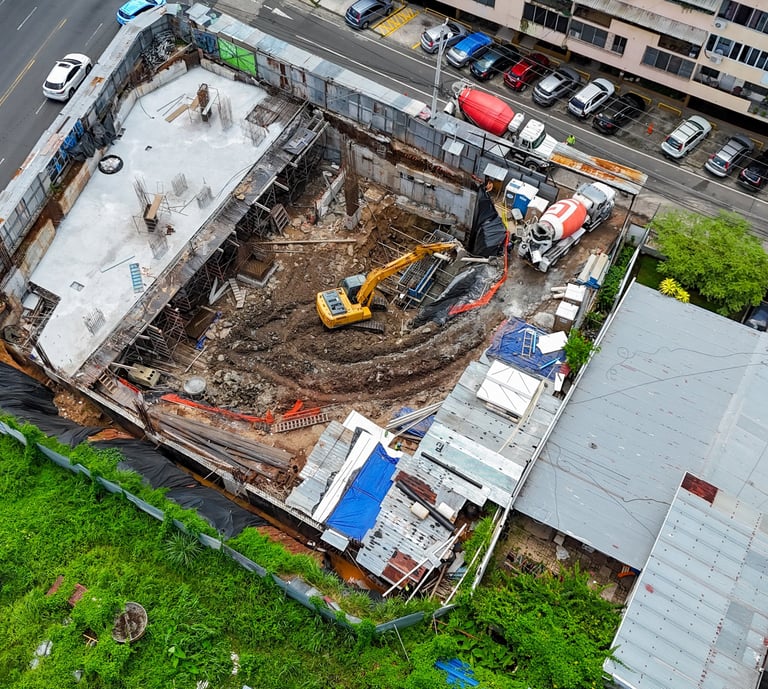
We provide aerial inspection and construction progress monitoring services to help you supervise your projects safely and efficiently, without the need for scaffolding or access to hazardous areas.
Our services include:
Roof, façade, and structural inspections
Periodic construction progress monitoring
Power line and transmission tower inspections
Assessment of slopes and hard-to-reach areas
Visual reports with dates and georeferenced locations
Aerial documentation for technical and progress reports